
Downtown Keene, in 3D

This is Downtown Keene. Every inch of it.

Keeping Keene Informed

2026 is looking like a crazy year for Downtown, Keene.

Downtown is going through one of its most drastic changes of all time. 3DKeene is focusing on capturing the streets and landmarks as true-to-life 3-D scans before, during, and after the work, so the public gets to keep a civic record of where we've been, while also exploring new and evolving technology that's just flat-out cool.

▶  Watch

Locations scanned so far, with more on the way.

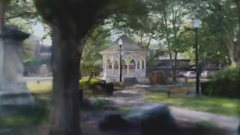
Each location is a full 3-D scan you can walk through right in your browser. We capture them with cutting-edge technology, and open-source software, that records a place exactly as it stood, a moment in time you can revisit long after downtown has changed.

How it works

3DKeene is built on state-of-the-art technology.

Every scan is made of millions of tiny points of color called 'splats'. These splats come together to form buildings, trees, roads, and cars.

Photogrammetry

A place is photographed hundreds of times from every angle. Software then triangulates and aligns the points those photos share and rebuilds the scene's true shape, done with a 360º camera.

Gaussian Splatting

That collection of points then turns into a volumetric rendering, composed of small semi-transparent disks called gaussians. These clouds of gaussians are so efficiently-rendered, you can view them online on just about any device.

The project

See a full timeline of the project
all in one place.

3D Keene has curated a live timeline of construction with exclusive photos, where you can upload your own photos and be part of documenting the construction, as well as informing your community.